Worldwide Satellite Images
Earth Viewer: View Any Location from Any Satellite
GOES 8 (The Americas, Atlantic Ocean) Visible Infrared Vapor
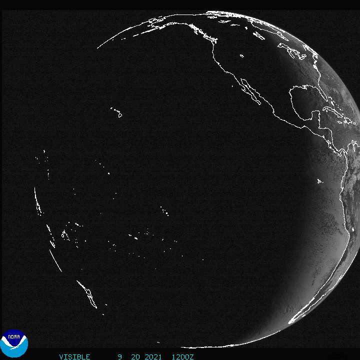
GOES 10 (Eastern Pacific Ocean) Visible Infrared Vapor
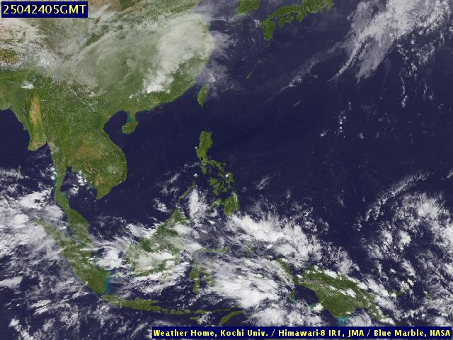
GMS 5 (Asia, Australia, Pacific Ocean) Visible Infrared Vapor
METEOSAT 5 (Central Asia) Visible Infrared Vapor
METEOSAT 7 (Europe And Africa) Visible Infrared Vapor
Northern Hemisphere Satellite View
Northern Hemisphere (U.S. Centered) Colorized IR Satellite
Images And Forecasts Coverings The Tropics
Spaceflight Meteorology Group Tropical Weather Page
Satellite Images Of Individual Tropical Systems
NRL Monterey Tropical Cyclone Homepage NOAA Hurricane Sectors
Satellite Images Of Tropical Regions
METEOSAT Tropical Atlantic Ocean
GOES 8 Caribbean Sea And Greater Antilles
GOES 8 Tropical Pacific Ocean, Mexico, Central America
GOES 10 Mexico, Tropical Pacific Ocean
GOES 10 Central, Eastern Tropical Pacific Ocean
GMS Oceania And Tropical Western Pacific Ocean
Sea Surface Temperatures Of Tropical Regions
Western Atlantic Ocean (Gulf Stream) SST (NOAA 14 Satellite)
Gulf Of Mexico SST, NOAA 14 Satellite
Global Sea Surface Temperatures
Global Sea Surface Temperature Anomaly
Global Sea Surface Temperature Climatology
Tampa FL *